
[ LTG31 ] [ LTG38 ]
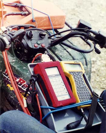 The LTG software family contains two programs: LTG31 for EM31 and LTG38 for EM38. These programs make use of logging capabilities of the Trimble PathFinder ProXRS system to log Geonics EM31 or EM38 data. This approach allows the user of EM31 or EM38 equipped with Polycorder 600 to have electromagnetic readings, as well as GPS positions in one data file. This file can be exported by GPS data processing software to a wide variety of formats used by GIS and contouring packages.
Main function of the software is to convert, time, and output instrument data from the Polycorder to GPS logger. While you can connect EM31 and EM38 directly to GPS logger, using Polycorder and the LTG software will limit 11 Hz stream of instrument data delivered to GPS logger. This eliminates problem of buffer overflowing and delays of EM readings collected by GPS software.
Please click on the program name to learn more about software features.